


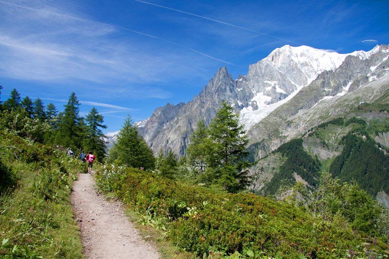
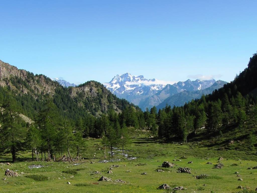
The L'Abri Bed and Breakfast, strategically located halfway between Aosta and Colle San Bernardo, is the ideal base for those who love hiking. It's a great base for exploring the Aosta Valley and its countless natural and historical attractions, including its numerous castles and the Gran Paradiso Valley with the wonders of its national park.
Walking itineraries of maximum 3 hours
- Vessona : Just follow trail 5 from the bridge over the Buthier River behind Vernosse (Oyace) to find yourself in a charming, wild valley dotted with mountain pastures. You can easily walk along it to the Ardamun mountain pasture (2,206 m). It's a three-hour hike, with an elevation gain of 1,000 meters.
- Montagnaya : The imposing Becca du Merlo dominates one of the most beautiful corners of the Valpelline, in the Bionaz area. Trail marker 15 can be followed starting from Pouillayes, at the foot of the road leading to the Place Moulin dam. A 700-meter elevation gain and a three-hour hike lead to the mountain pastures of Aquelou and Avoley, home to herds of chamois.
- Saint-Oyen-Alpeggio Flassin :
Not far from Camping Pineta, the farm road begins that climbs the Comba Flassin up to the 2,258 m high Flassin Superiore mountain pasture, on the slopes of Testa Cordella. It's just under 900 m of elevation gain in 6 km.
- Etroubles-Saint-Oyen Fitness Trail :
A flat walk along the banks of the Artanavaz stream, also accessible to families with strollers. The route begins at the public parking lot in front of the Hotel Beau Séjour.
- Ruz-Alpeggio Berrié :
The route develops in the Bionaz area, climbing the sometimes daring hairpin bends that lead in 4 km from the 1700 m of the houses in the Ruz area to the 2200 metres of Berrié (500 metres of altitude difference), along the Tour des grands barrages.
- Ruz-Alpeggio Berrié :
The route develops in the Bionaz area, climbing the sometimes daring hairpin bends that lead in 4 km from the 1700 m of the houses in the Ruz area to the 2200 metres of Berrié (500 metres of altitude difference), along the Tour des grands barrages.
- Etroubles-Saint-Oyen Fitness Trail :
A flat walk along the banks of the Artanavaz stream, also accessible to families with strollers. The route begins at the public parking lot in front of the Hotel Beau Séjour.
- Chamen-Alpeggio La Crotta :
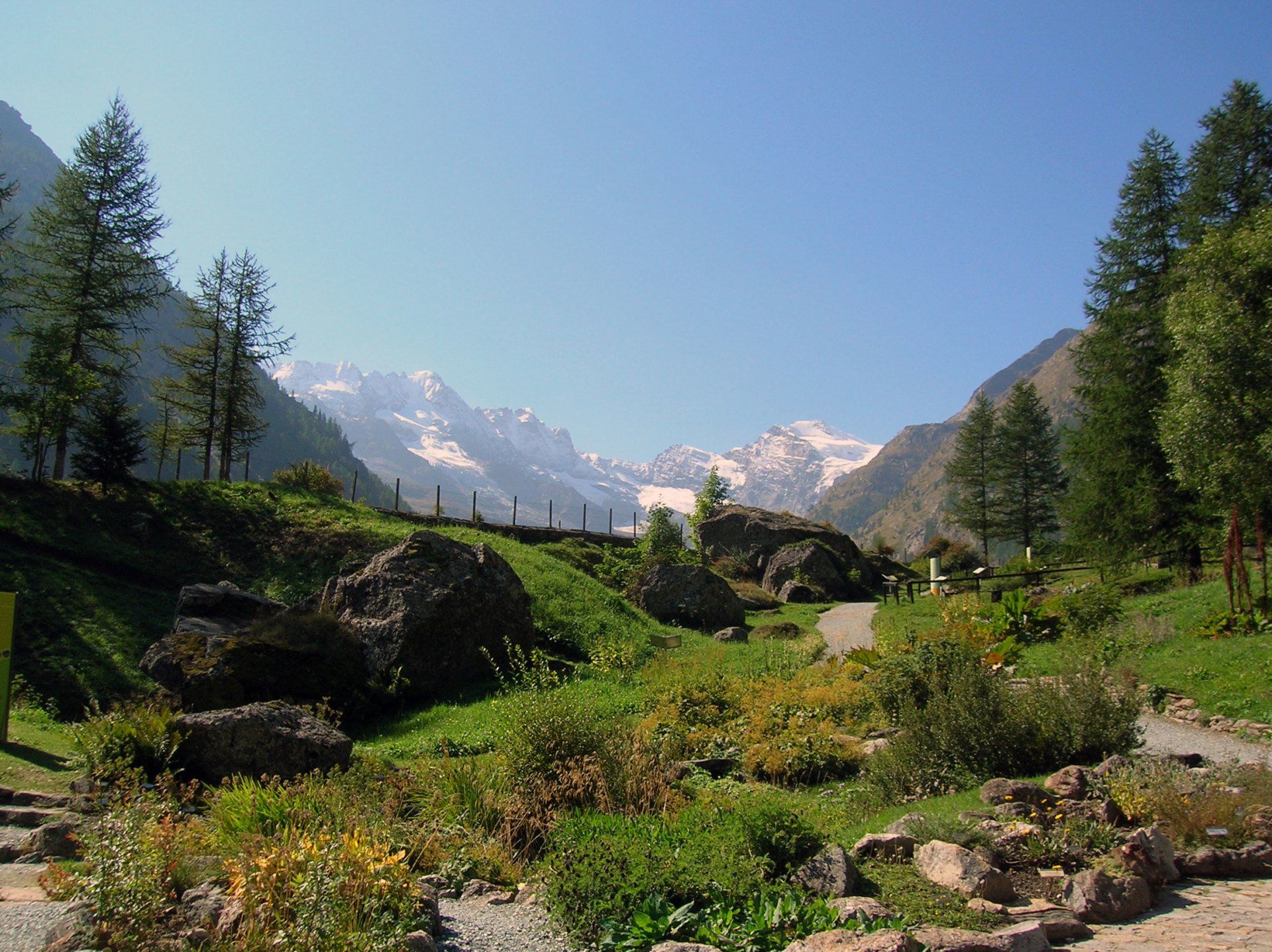
The route gives access to Comba Sassa, a hidden corner of the Valpelline valley, home to an alpine pasture in its lower reaches. The steep switchbacks of the dirt road lead to the 2,211-meter peak of Crotta in 4 km (with a 500-meter elevation gain). The route begins in Chamen, halfway between the main town of Bionaz and the Place Moulin dam. Breathtaking views of Becca Luseney and Montagnaya await.
- Place Moulin-Prarayer : The road is almost completely flat, at an altitude of 2000 m. From the Place Moulin dam square (Bionaz), following the artificial lake of the same name, you reach the Prarayer area, home to a refuge, in 5 km.
- Place Moulin-Prarayer : The road is almost completely flat, at an altitude of 2000 m. From the Place Moulin dam square (Bionaz), following the artificial lake of the same name, you reach the Prarayer area, home to a refuge, in 5 km.
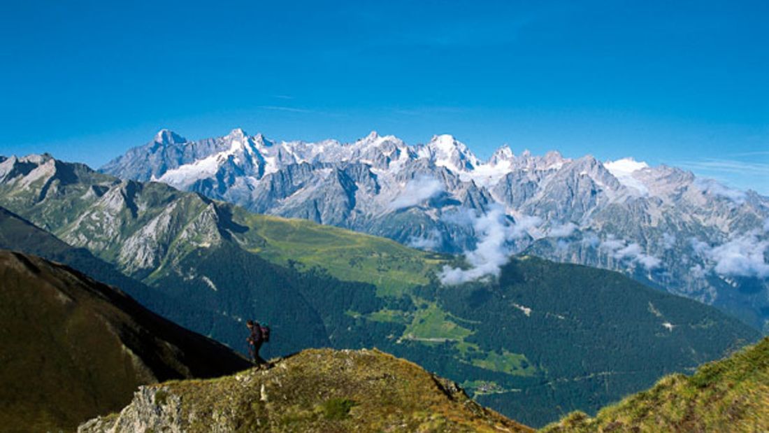
Walking itineraries lasting more than 3 hours
- Pointe Chaligne: Park just above Buthier (Gignod), in the Condemine area, at 1,520 m (one of several starting points from which the summit is accessible). Follow trail sign 3, which leads to some mountain pastures and the airy, grassy Costa Tardiva, reaching the summit (2,608 m) in 3.5 hours. Vast views of Mont Blanc, the Matterhorn, and the Grand Combin await.
- Mont Saron: A classic Allein climb, following trail 24 from Ville (1,405 m) to the summit of Saron (2,681 m). A three-and-a-half-hour climb. Magnificent view of the Aosta Valley peaks.
- Big Head:
The Bois de Lanche in Etroubles forms the backdrop to this hike. The route follows the farm road behind the abandoned Enpaia holiday home (1,350 m), then leaves it at an altitude of 1,960 m, just above Teppes, following a grassy path that branches off to the left, leading to trail marker 6A and the summit (2,452 m, 3.5 hours).
- Col Molline:
1300 m elevation gain starting from Prailles (Etroubles). A long hike: 4.5 hours to climb the Menouve and Molline valleys to the pass on the Swiss border (2914 m).
- Barasson Hills:
A hike that explores the Costa Barasson and the slopes of the Barasson Pass, north of Saint-Oyen. Climb the ridge (some exposed sections) and return to the pass following trail markers 16, 14, and 14A. The starting and finishing points are the hamlet of Eternod. This is a long hike: the loop takes 7 hours (1,000 m of elevation gain) to complete.
- Fenêtre de Ferret-Col du Bastillon-Pas des Chevaux ring:
A strenuous up-and-down route through three valleys—the Great St. Bernard Pass, the Swiss Val Ferret, and Entremont—with sweeping panoramic views. It also passes the picturesque Fenêtre Lakes (six hours of walking, 1,150 m of elevation gain, 1,280 m of descent). Either the Great St. Bernard Pass or the village of Bau are suitable starting and finishing points.
- Barasson Hills:
A hike that explores the Costa Barasson and the slopes of the Barasson Pass, north of Saint-Oyen. Climb the ridge (some exposed sections) and return to the pass following trail markers 16, 14, and 14A. The starting and finishing points are the hamlet of Eternod. This is a long hike: the loop takes 7 hours (1,000 m of elevation gain) to complete.
- Becca di Viou:
The summit of Roisan is easily reached from Blavy (1,471 m), a town served by a small road that climbs from Saint-Cristophe. From there, follow trail 105 to Col de Viou and the summit (2,856 m), near which a bivouac was recently opened. Allow 3.5 hours for the climb.
-
Les Arsines-Semon:
From the road to Ollomont, at the junction for Frissonia (1163 m), trail signpost 3 for Valpelline branches off, leading to the charming oratory of Les Arsines (1703 m), the source of the penstocks serving the power plant below. The same trail continues through the Comba Barison woods before reconverging on the valley floor, reaching the hamlet of Semon, from where it's possible to return to the starting point of the route (a total of 3.5 hours' walk).
- Regondi Bivouac:
Classic route starting from Glassier (1,553 m), ascending the Gaula Gorge and passing the lake area east of the upper Ollomont Valley, converging on the bivouac at 2,597 m, with priceless views of Mont Gélé, the By basin, and Mont Velan. The return can be done via another route, passing By and Maison Farinet (trail markers 6 and 5). Six and a half hours of hiking in total.
-
Les Arsines-Semon:
From the road to Ollomont, at the junction for Frissonia (1163 m), trail signpost 3 for Valpelline branches off, leading to the charming oratory of Les Arsines (1703 m), the source of the penstocks serving the power plant below. The same trail continues through the Comba Barison woods before reconverging on the valley floor, reaching the hamlet of Semon, from where it's possible to return to the starting point of the route (a total of 3.5 hours' walk).
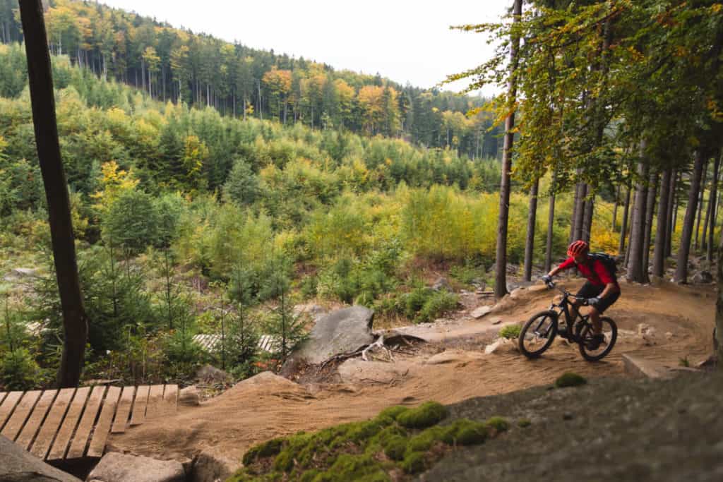
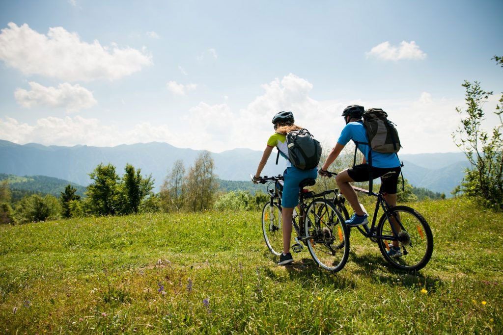
Itinerari in Mountain Bike
- Ru Neuf: A nearly flat hike, stretching at an altitude of 1,200 meters for 6 kilometers, with remarkable panoramic views. Park your car where the road ascending from Planet (Gignod) intersects the Neuf irrigation canal (ru), a hydraulic structure built in the 1400s to capture the waters of the Artanavaz stream and channel it to the orchards of Coumba Frèide. The ru is flanked by a path that you follow to La Clusaz, on the main road to the Great St. Bernard Pass.
- Etroubles-Military Road:
In 7 km, the trail through the Bois de Lanche climbs 786 meters, reaching an altitude of 2,056 meters on a panoramic terrace overlooking the Comba Flassin. The coniferous forest begins at the abandoned Enpaia holiday home, on the meadows above the Tunnel campsite.
- Saint-Oyen-Alpeggio Flassin: Not far from Camping Pineta, the farm road begins that climbs the Comba Flassin up to the 2,258 m high Flassin Superiore mountain pasture, on the slopes of Testa Cordella. It's just under 900 m of elevation gain in 6 km.
- Chamen-Alpeggio La Crotta:
The route gives access to Comba Sassa, a hidden corner of the Valpelline valley, home to an alpine pasture in its lower reaches. The steep switchbacks of the dirt road lead to the 2,211-meter peak of Crotta in 4 km (with a 500-meter elevation gain). The route begins in Chamen, halfway between the main town of Bionaz and the Place Moulin dam. Breathtaking views of Becca Luseney and Montagnaya await.
- Saint-Rhémy-Plan Puits: From the village of Saint-Rhémy (home to the historic ham factory that produces Jambon de Bosses, a brand boasting the PDO (Protected Designation of Origin) label), the route climbs a 500-meter elevation gain over 6 km on a dirt road. On the Barasson slope, the trail passes through a larch and fir forest before reaching the Plan Puits plateau (2,127 m), home to evocative military fortifications.
- Champillon-By-Thoules:
From the car park near the Plan Détruit cross (2,076 m, in the municipality of Doues), a 15 km dirt road takes you to the upper Ollomont valley, crossing the charming By basin. The route ends at the foot of the Fenêtre Durand, in the Thoules mountain pasture (2,378 m).
- Ruz-Alpeggio Berrié:
The route develops in the Bionaz area, climbing the sometimes daring hairpin bends that lead in 4 km from the 1700 m of the houses in the Ruz area to the 2200 metres of Berrié (500 metres of altitude difference), along the Tour des grands barrages.
- Place Moulin-Prarayer:
The road is almost completely flat, at an altitude of 2000 m. From the Place Moulin dam square (Bionaz), following the artificial lake of the same name, you reach the Prarayer area, home to a refuge, in 5 km.
- Place Moulin-Prarayer:
The road is almost completely flat, at an altitude of 2000 m. From the Place Moulin dam square (Bionaz), following the artificial lake of the same name, you reach the Prarayer area, home to a refuge, in 5 km.
- Ruz-Alpeggio Berrié:
The route develops in the Bionaz area, climbing the sometimes daring hairpin bends that lead in 4 km from the 1700 m of the houses in the Ruz area to the 2200 metres of Berrié (500 metres of altitude difference), along the Tour des grands barrages.
CONTACT US
Contact L'Abri to book accommodation and enjoy your mountain holiday in the Aosta Valley.


